It’s not just the heat anymore. A sudden shift in weather patterns has brought heavy rain and hailstorms to parts of Haryana, with the India Meteorological Department (IMD) issuing a yellow alert for the Delhi National Capital Region and surrounding states. The storm isn’t stopping at the borders; it’s moving into New Delhi, Uttar Pradesh, and Punjab, bringing thunder, lightning, and gusty winds that could disrupt daily life for millions.
The twist? This isn't your typical monsoon drizzle. It’s driven by a powerful Western Disturbance interacting with lingering summer heat, creating a volatile mix. While some areas get relief from the scorching temperatures, others are facing potential damage from hail and strong winds reaching up to 50 km/h.
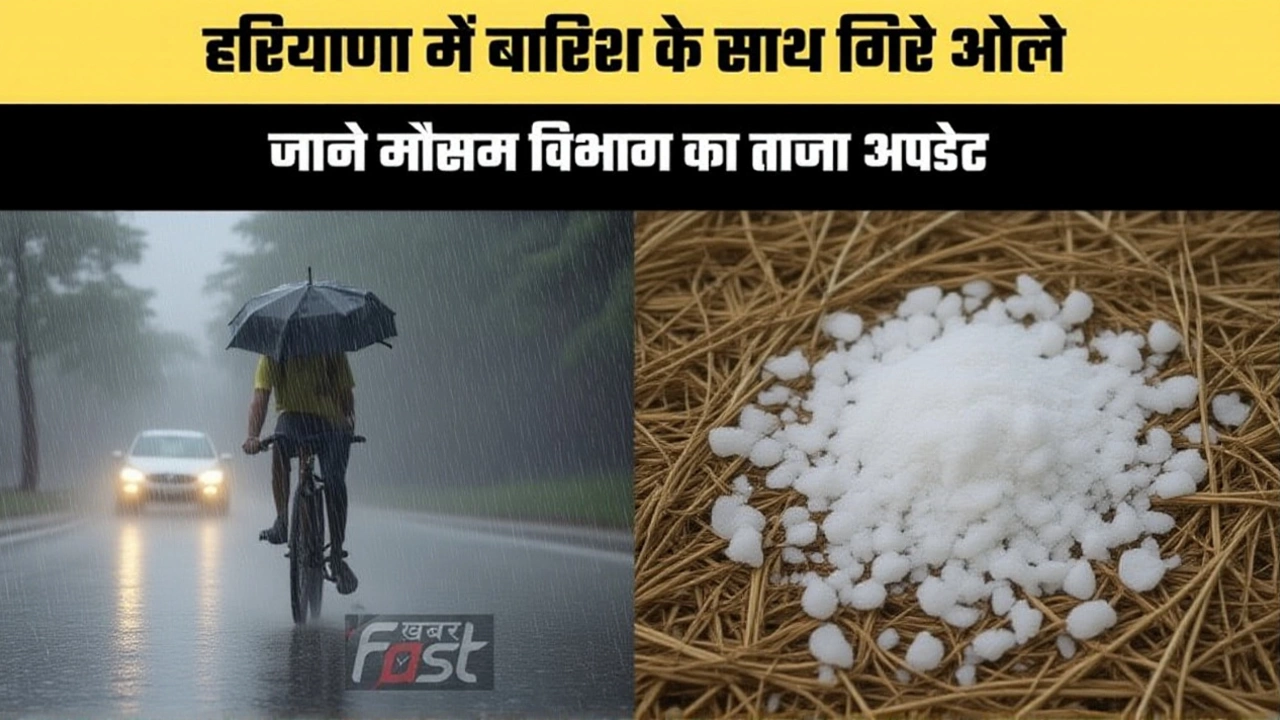
The Storm Hits Home: Hail and Heavy Rain
Residents in districts like Hisar and Fatehabad woke up to a different kind of morning. Instead of the usual humid haze, they faced heavy downpours and hailstones. Social media reports from Uni India News highlighted these localized but intense events, though exact measurements of hail size or rainfall volume remain scarce. What we do know is that the atmosphere is unstable.
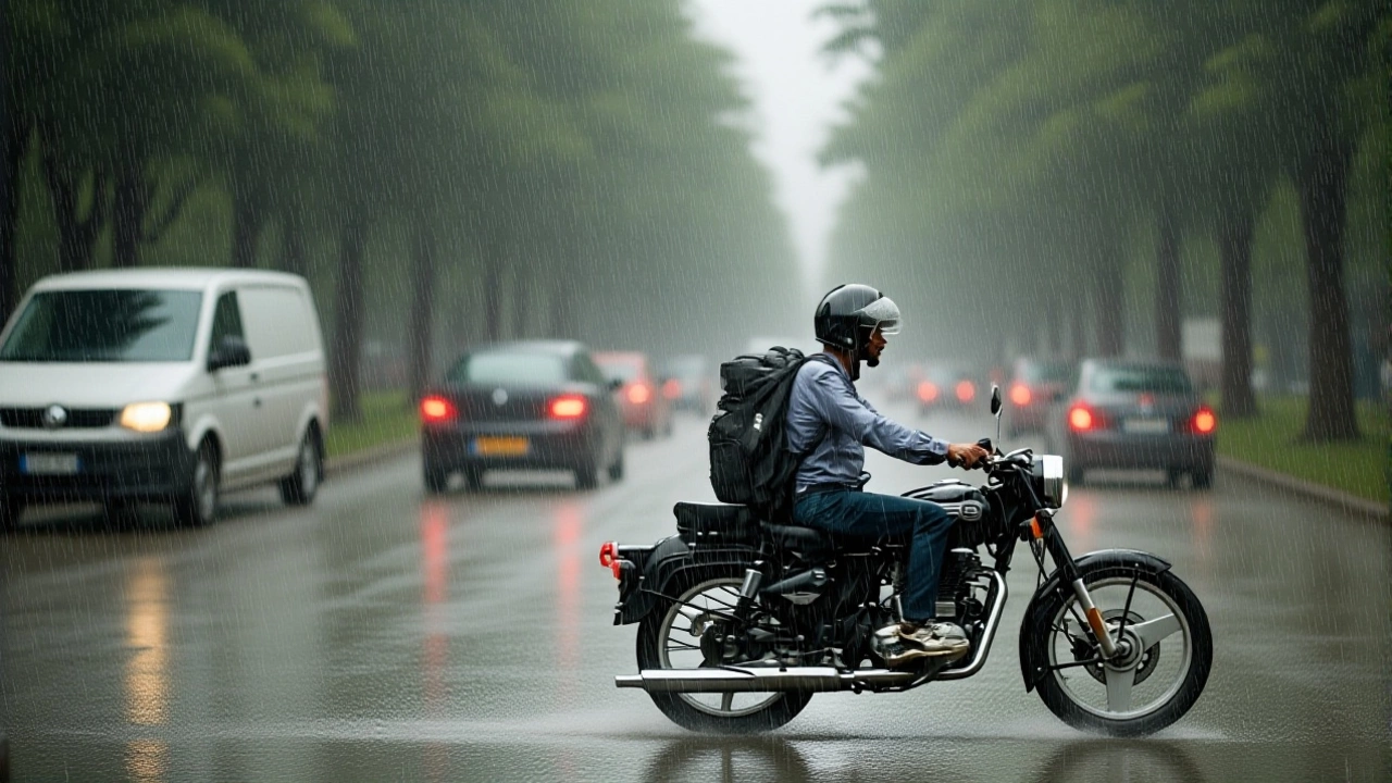
But wait, this is spreading. The IMD’s Regional Weather Forecasting Centre in New Delhi warned that isolated places across Delhi—including Chhattarpur, Dwarka, Palam, and even Indira Gandhi International Airport—could see light to moderate rainfall accompanied by thunderstorms. If you’re planning to commute through Gurugram or Faridabad today, expect delays. Winds are gusting between 30 and 40 km/h, enough to knock over temporary structures or make driving tricky on wet roads.
Why Now? The Western Disturbance Factor
Here’s the thing about Indian weather: it’s rarely simple. The current chaos is linked to a Western Disturbance, a weather system that originates in the Mediterranean and moves eastward. Usually, these bring winter rains, but when they clash with pre-monsoon or early monsoon humidity, things get messy.
Complicating matters further is the influence of a Super El Niño event. Experts suggest this global climate pattern is slowing down the monsoon’s progress across India. The result? Stalled systems that dump rain in specific pockets while leaving other regions, like Vidarbha, baking in heatwave-like conditions. It’s a tale of two Indias: one getting soaked, the other scorched.
What the Data Says: Temperatures and Alerts
Let’s look at the numbers. In New Delhi, maximum temperatures are expected to hover around 32°C, a slight drop from recent highs, with minimums near 24°C. Chandigarh might see peaks of 39°C, while Himachal Pradesh locations like Shimla and Manali are seeing cooler temps, dipping to 16°C and 13°C respectively.
In Haryana, cities like Bhiwani and Hisar are recording highs of 38°C, but the real story is the wind. Gusts of 40-50 km/h are possible in mountainous and plains areas alike. The IMD has been clear: remain alert. Dust storms may also occur, reducing visibility significantly during afternoon hours. For those in Jammu and Kashmir, landslides have already disrupted highways, a reminder of how quickly terrain can become hazardous under heavy rain.

Broader Impact: From Landslides to Heat Relief
The ripple effects are widespread. In Uttarakhand and Himachal Pradesh, light snowfall was recorded at high altitudes like Rohtang Pass, while lower regions face landslide risks. Meanwhile, in South India and Assam, rainfall patterns are shifting, affecting agriculture and travel plans.
For many in North India, however, this storm is a welcome respite. After weeks of oppressive heat, the clouds offer a break. But don’t let the cool breeze fool you. The IMD warns that this pattern—light to moderate rain, clouds, and strong winds—could persist for the next 48 to 72 hours. That means if you’re heading out, carry an umbrella and check traffic updates. Roads in areas like Rohtak, Jhajjar, and Rewari are particularly vulnerable to waterlogging.
What’s Next: Monitoring the Shift
Over the next week, isolated heavy rainfall is likely in Northwest India, including Haryana and East Rajasthan. Between September 1 and 2, Uttar Pradesh may see more intense showers. The key takeaway? Stay flexible. Weather windows are closing and opening rapidly.
Experts advise monitoring local alerts closely. The IMD will continue updating forecasts, but ground-level changes can happen faster than models predict. Keep emergency contacts handy, secure loose outdoor items, and avoid unnecessary travel during peak storm hours, typically late afternoon to evening.
Background: A History of Unsettled Skies
This isn’t the first time North India has faced such volatility. Previous years saw similar clashes between Western Disturbances and monsoon currents, leading to erratic rainfall. Climate scientists note that rising global temperatures are intensifying these systems, making extreme weather events more frequent.
Understanding these patterns helps us prepare. Whether it’s hail in Hisar or floods in Kashmir, the message is consistent: respect the weather, stay informed, and plan accordingly. The skies are talking; we’d do well to listen.
Frequently Asked Questions
Which areas in Delhi are most affected by the current storms?
Isolated parts of Delhi, including Chhattarpur, Dwarka, Palam, Vasant Vihar, and Hauz Khas, are expected to see light to moderate rainfall with thunderstorms. The Indira Gandhi International Airport area may also experience disruptions due to gusty winds and rain.
How long will the yellow alert last?
The IMD has indicated that the current weather pattern, including rain and strong winds, could persist for the next 48 to 72 hours. Residents in Delhi NCR, Haryana, and Punjab should remain vigilant during this period.
Is hailstorm common in Haryana right now?
While not everyday occurrence, hailstorms have been reported in districts like Hisar and Fatehabad due to the instability caused by the Western Disturbance. These events are usually short-lived but can cause localized damage to crops and property.
What should commuters do during the storm?
Commuters should avoid unnecessary travel, especially during late afternoon and evening hours when thunderstorms are most likely. If traveling, keep a safe distance from trees and power lines, and be prepared for reduced visibility due to dust or rain.
How does El Niño affect this weather?
A Super El Niño event is believed to be slowing the monsoon's progress, causing weather systems to stall. This leads to prolonged periods of unsettled weather in some regions, like North India, while others face delayed rains or continued heat.