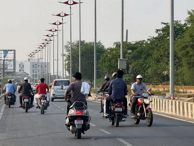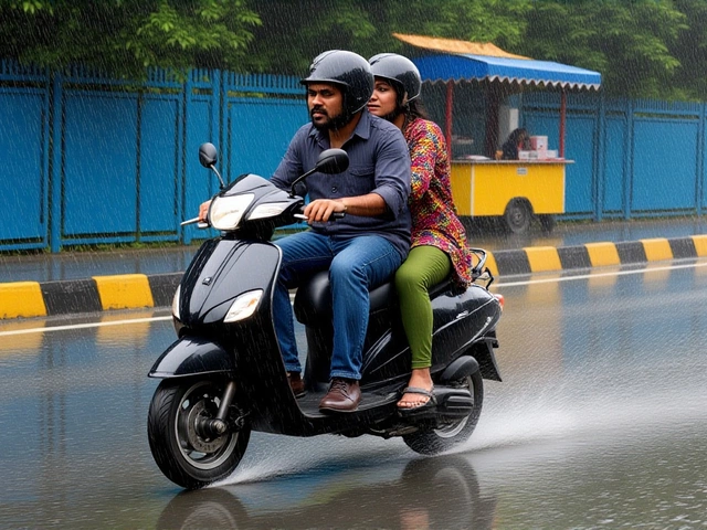
When India Meteorological Department issued its latest alert on January 31, 2026, the message was clear: brace for impact. A powerful western disturbance is sweeping across northern and central India, bringing heavy rain, thunderstorms, and snow to ten states by February 2 and 3. For millions of commuters in Delhi-NCR and travelers heading toward the Himalayas, this isn't just a weather update—it's a disruption warning.
The system has been building since late January, but things are about to get intense. From the high-altitude passes of Jammu and Kashmir to the plains of Uttar Pradesh, the weather pattern is shifting rapidly. Here’s what you need to know before the skies open up.
The Storm System Explained
A western disturbance—essentially a low-pressure system originating over the Mediterranean Sea—is driving this change. It’s active now and expected to peak between February 1 and February 3, 2026. This isn’t your average drizzle. The IMD warns of gusts reaching 50 km/h in several regions, accompanied by lightning and potential hailstorms.
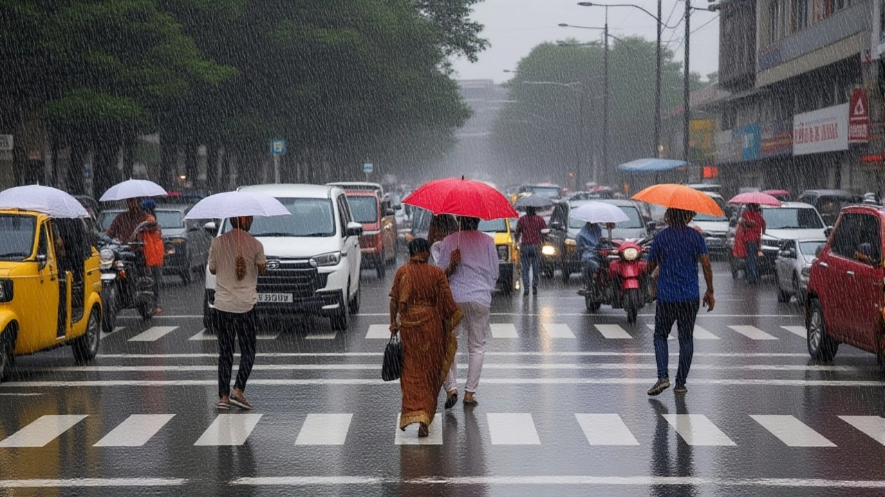
Here’s the thing: these systems can be tricky. They bring much-needed relief to winter crops but also pose risks like waterlogging and traffic chaos. In New Delhi, the capital city, residents are already seeing cloudy skies and winds picking up at 30–40 km/h. The good news? Air quality might actually improve temporarily as the rain washes away pollutants. The bad news? Commuting will be a slog.
Who Is Affected?
The alert covers a wide swath of the country. Ten states have been flagged:
- Uttar Pradesh: Yellow alerts for Kanpur, Lucknow, Amethi, Raebareli, Pratapgarh, Prayagraj, Barabanki, Chandauli, Sonbhadra, and Lalitpur.
- Himalayan Regions: Jammu & Kashmir, Ladakh, Himachal Pradesh, and Uttarakhand face heavy snowfall and sub-zero temperatures.
- Central & Western Plains: Punjab, Haryana, Eastern Rajasthan, Madhya Pradesh, and Maharashtra are under watch for rain and thunderstorms.
In Lucknow and surrounding districts, medium-to-heavy rain is expected on February 2 alone. Farmers in Punjab and Haryana should prepare for possible hail damage to standing crops—a real concern given the timing in early February.
Mountain Chill vs. Plain Drizzle
If you’re planning a trip to the mountains, rethink it. Temperatures in higher altitudes of Jammu & Kashmir, Himachal Pradesh, and Uttarakhand could drop below freezing. Road closures due to snow accumulation are likely, especially on routes like Manali-Leh or Nainital-Mussoorie. Travelers should check road conditions before departing.
Meanwhile, in Bihar, it’s a different story entirely. No rain is expected until after February 5. Patna will see clear skies with highs around 24°C and lows near 13°C. A rare break from the storm, oddly enough.
What Experts Are Saying
Meteorologists note that this disturbance follows a colder-than-usual Republic Day (January 26) in Delhi, where temperatures hit five-year lows. “This is part of a broader cooling trend,” says one climate analyst familiar with regional patterns. “The western disturbance is strengthening as it moves eastward, which explains the sudden shift from dry cold to wet cold.”
But wait—the impact isn’t uniform. While Delhi sees moderate rain, eastern UP faces heavier downpours. And don’t forget Chhattisgarh, which joins the list on February 2 with thunderstorm warnings. It’s a ripple effect spreading southward.
What’s Next?
Keep an eye on February 3 and 4. The system may linger, particularly in central India. If you’re in Mumbai or Nagpur, expect scattered showers. Meanwhile, authorities in hill stations are urging tourists to avoid non-essential travel during peak snowfall hours (typically 8 AM–4 PM).
For urban dwellers, carry umbrellas, wear waterproof footwear, and allow extra time for commutes. Power outages are possible in areas with old electrical infrastructure exposed to strong winds.
Frequently Asked Questions
Which cities in Uttar Pradesh are under yellow alert?
Ten districts including Kanpur, Lucknow, Prayagraj, Varanasi-adjacent Chandauli, and Basti-region Lalitpur are under yellow alert for medium-to-heavy rain on February 2, 2026. Local administrations advise avoiding unnecessary outdoor activities during peak rainfall hours.
Will there be snowfall in Shimla or Manali?
Yes, significant snowfall is forecast for higher elevations in Himachal Pradesh, including Shimla and Manali, between February 1 and 3. Temperatures may dip below zero, leading to slippery roads and possible transport disruptions. Check local advisories before traveling.
Is air quality improving in Delhi due to rain?
Temporarily, yes. Rain helps settle particulate matter, potentially lowering AQI levels from ‘Poor’ to ‘Moderate.’ However, once the system moves out, pollution levels may rebound quickly unless sustained winds continue clearing the atmosphere.
Why is Bihar unaffected by this storm?
The western disturbance’s core influence remains confined to northwestern and central India. Bihar lies outside the primary precipitation band for this event. Clear skies and normal temperatures are expected there until at least February 5, offering a brief respite from regional unrest.
Should farmers worry about hail damage?
Absolutely. Hail warnings are active for parts of Punjab, Haryana, and Rajasthan. Early-season wheat and mustard crops are vulnerable. Farmers are advised to monitor local IMD bulletins closely and consider protective measures if large hailstones are predicted in their area.